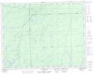
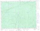
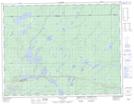
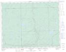
Maps showing North Pagwachuan River, Thunder Bay, Ontario
North Pagwachuan River is a River located in Thunder Bay, Ontario and has an elevation of 269 meters.
- Latitude: 49° 44' 42'' North (decimal: 49.7449999)
- Longitude: 85° 29' 43'' West (decimal: -85.4952777)
- Topography Feature Category: River
- Geographical Feature: River
- Canadian Province/Territory: Ontario
- Elevation: 269 meters
- Location: Thunder Bay
- Atlas of Canada Locator Map: North Pagwachuan River
- GPS Coordinate Locator Map: North Pagwachuan River Lat/Long
North Pagwachuan River NTS Map Sheets