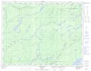
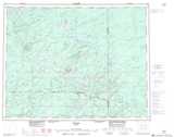
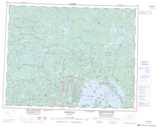
Maps showing Ombabika, Thunder Bay, Ontario
Ombabika is a Unincorporated area located in Thunder Bay, Ontario and has an elevation of 334 meters.
- Latitude: 50° 13' 47'' North (decimal: 50.2297222)
- Longitude: 87° 54' 42'' West (decimal: -87.9116666)
- Topography Feature Category: Unincorporated area
- Geographical Feature: Dispersed Rural Community
- Canadian Province/Territory: Ontario
- Elevation: 334 meters
- Location: Thunder Bay
- Atlas of Canada Locator Map: Ombabika
- GPS Coordinate Locator Map: Ombabika Lat/Long
Ombabika NTS Map Sheets