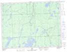
Maps showing The Narrows, Algoma, Ontario
The Narrows is a Channel located in Algoma, Ontario and has an elevation of 329 meters.
- Latitude: 49° 1' 58'' North (decimal: 49.0327777)
- Longitude: 84° 14' 30'' West (decimal: -84.2416666)
- Topography Feature Category: Channel
- Geographical Feature: Narrows
- Canadian Province/Territory: Ontario
- Elevation: 329 meters
- Location: Algoma
- Atlas of Canada Locator Map: The Narrows
- GPS Coordinate Locator Map: The Narrows Lat/Long