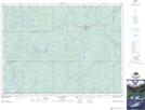
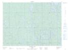
Maps showing McDonnel Creek, Timiskaming, Ontario
McDonnel Creek is a River located in Timiskaming, Ontario and has an elevation of 332 meters.
- Latitude: 47° 58' 15'' North (decimal: 47.9708333)
- Longitude: 80° 36' 45'' West (decimal: -80.6125000)
- Topography Feature Category: River
- Geographical Feature: Creek
- Canadian Province/Territory: Ontario
- Elevation: 332 meters
- Location: Timiskaming
- Atlas of Canada Locator Map: McDonnel Creek
- GPS Coordinate Locator Map: McDonnel Creek Lat/Long
McDonnel Creek NTS Map Sheets