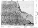
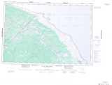
Maps showing Pipowitan River, Kenora, Ontario
Pipowitan River is a River located in Kenora, Ontario.
- Latitude: 56° 6' 29'' North (decimal: 56.1080555)
- Longitude: 87° 39' 25'' West (decimal: -87.6569444)
- Topography Feature Category: River
- Geographical Feature: River
- Canadian Province/Territory: Ontario
- Location: Kenora
- Atlas of Canada Locator Map: Pipowitan River
- GPS Coordinate Locator Map: Pipowitan River Lat/Long
Pipowitan River NTS Map Sheets
044D Map Not Available Topographic Map at 1:250,000 scale
