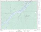
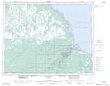
Maps showing Pitawanigau Bay, Cochrane, Ontario
Pitawanigau Bay is a Bay located in Cochrane, Ontario and has an elevation of 7 meters.
- Latitude: 51° 13' 00'' North (decimal: 51.2166666)
- Longitude: 80° 36' 41'' West (decimal: -80.6113888)
- Topography Feature Category: Bay
- Geographical Feature: Bay
- Canadian Province/Territory: Ontario
- Elevation: 7 meters
- Location: Cochrane
- Atlas of Canada Locator Map: Pitawanigau Bay
- GPS Coordinate Locator Map: Pitawanigau Bay Lat/Long
Pitawanigau Bay NTS Map Sheets