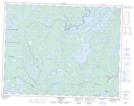
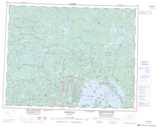
Maps showing Saturday Island, Thunder Bay, Ontario
Saturday Island is a Island located in Thunder Bay, Ontario and has an elevation of 365 meters.
- Latitude: 50° 26' 37'' North (decimal: 50.4436111)
- Longitude: 89° 9' 13'' West (decimal: -89.1536111)
- Topography Feature Category: Island
- Geographical Feature: Island
- Canadian Province/Territory: Ontario
- Elevation: 365 meters
- Location: Thunder Bay
- Atlas of Canada Locator Map: Saturday Island
- GPS Coordinate Locator Map: Saturday Island Lat/Long
Saturday Island NTS Map Sheets