Canada Topographic Maps

Mistango River Topo Maps

Topography maps and Latitude/Longitude Location

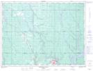
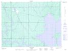
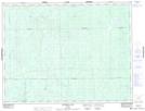
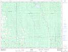
Maps showing Mistango River, Cochrane, Ontario

Mistango River is a River located in Cochrane, Ontario and has an elevation of 259 meters.

  • Latitude: 48° 47' 35'' North   (decimal: 48.7930555)
  • Longitude: 80° 30' 11'' West   (decimal: -80.5030555)
  • Topography Feature Category: River
  • Geographical Feature: River
  • Canadian Province/Territory: Ontario
  • Elevation: 259 meters
  • Location: Cochrane
  • Atlas of Canada Locator Map: Mistango River
  • GPS Coordinate Locator Map: Mistango River Lat/Long

Mistango River NTS Map Sheets

042A15 Iroquois Falls Topographic Map at 1:50,000 scale

042A16 Low Bush Topographic Map at 1:50,000 scale

042H01 Mistango Lake Topographic Map at 1:50,000 scale

042H02 Abitibi Topographic Map at 1:50,000 scale

042A Timmins Topographic Map at 1:250,000 scale

042H Cochrane Topographic Map at 1:250,000 scale

 
Buy Topographic Maps DVD
Newsletter Sign-up

Yes, I want to receive map store discounts.


Bookmark and Share