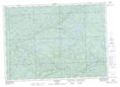
Maps showing Batchawana, Ontario
Batchawana is a Unincorporated area located in Ontario.
- Latitude: 47° 10' 35'' North (decimal: 47.1764000)
- Longitude: 84° 17' 21'' West (decimal: -84.2892000)
- Topography Feature Category: Unincorporated area
- Geographical Feature: Railway Point
- Canadian Province/Territory: Ontario
- GPS Coordinate Locator Map: Batchawana Lat/Long
Batchawana NTS Map Sheets