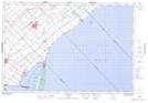
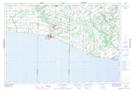
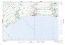
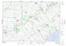
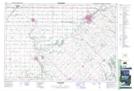
Maps showing Elgin, Ontario
Elgin is a Geographical area located in Ontario.
- Latitude: 42° 44' 21'' North (decimal: 42.7391666)
- Longitude: 81° 15' 18'' West (decimal: -81.2549999)
- Topography Feature Category: Geographical area
- Geographical Feature: Geographic County
- Canadian Province/Territory: Ontario
- Atlas of Canada Locator Map: Elgin
- GPS Coordinate Locator Map: Elgin Lat/Long
Elgin NTS Map Sheets
040I05 Ridgetown Topographic Map at 1:50,000 scale
040I10 Port Burwell Topographic Map at 1:50,000 scale
040I11 Port Stanley Topographic Map at 1:50,000 scale
040I12 Bothwell Topographic Map at 1:50,000 scale
040I13 Strathroy Topographic Map at 1:50,000 scale
040I14 St Thomas Topographic Map at 1:50,000 scale
040I15 Tillsonburg Topographic Map at 1:50,000 scale
040I Erie Topographic Map at 1:250,000 scale