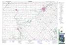
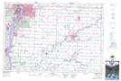
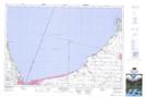
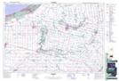
Maps showing Warwick, Lambton, Ontario
Warwick is a Other municipal/district area - miscellaneous located in Lambton, Ontario.
- Latitude: 43° 1' 6'' North (decimal: 43.0183333)
- Longitude: 81° 54' 27'' West (decimal: -81.9075000)
- Topography Feature Category: Other municipal/district area - miscellaneous
- Geographical Feature: Township Municipality
- Canadian Province/Territory: Ontario
- Location: Lambton
- Atlas of Canada Locator Map: Warwick
- GPS Coordinate Locator Map: Warwick Lat/Long
Warwick NTS Map Sheets


040O Map Not Available Topographic Map at 1:250,000 scale
