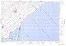
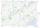
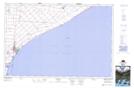
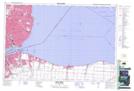
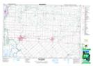
Maps showing Kent, Ontario
Kent is a Major municipal/district area - major agglomeration located in Ontario.
- Latitude: 42° 25' North (decimal: 42.4167000)
- Longitude: 82° 10' West (decimal: -82.1667000)
- Topography Feature Category: Major municipal/district area - major agglomeration
- Geographical Feature: County Municipality
- Canadian Province/Territory: Ontario
- GPS Coordinate Locator Map: Kent Lat/Long
Kent NTS Map Sheets
040I05 Ridgetown Topographic Map at 1:50,000 scale
040I12 Bothwell Topographic Map at 1:50,000 scale
040J01 Wheatley Topographic Map at 1:50,000 scale
040J07 Belle River Topographic Map at 1:50,000 scale
040J08 Chatham Topographic Map at 1:50,000 scale
040J09 Wallaceburg Topographic Map at 1:50,000 scale
040I Erie Topographic Map at 1:250,000 scale
040J Detroit Topographic Map at 1:250,000 scale