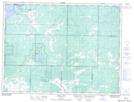
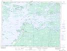
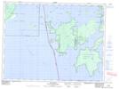
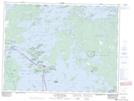
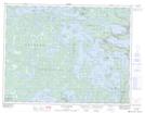
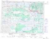
Maps showing Lake of the Woods, Rainy River; Kenora, Ontario
Lake of the Woods is a Other municipal/district area - miscellaneous located in Rainy River; Kenora, Ontario.
- Latitude: 49° 9' 3'' North (decimal: 49.1508333)
- Longitude: 94° 29' 34'' West (decimal: -94.4927777)
- Topography Feature Category: Other municipal/district area - miscellaneous
- Geographical Feature: Township Municipality
- Canadian Province/Territory: Ontario
- Location: Rainy River; Kenora
- Atlas of Canada Locator Map: Lake of the Woods
- GPS Coordinate Locator Map: Lake of the Woods Lat/Long
Lake of the Woods NTS Map Sheets
052D16 Arbor Vitae Topographic Map at 1:50,000 scale
052E01 Morson Topographic Map at 1:50,000 scale
052E02 Big Island Topographic Map at 1:50,000 scale
052E07 Falcon Island Topographic Map at 1:50,000 scale
052E08 Sioux Narrows Topographic Map at 1:50,000 scale
052D Roseau Topographic Map at 1:250,000 scale
052E Kenora Topographic Map at 1:250,000 scale