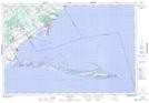
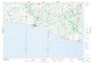
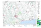
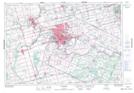
Maps showing Norfolk County, Norfolk, Ontario
Norfolk County is a City located in Norfolk, Ontario.
- Latitude: 42° 48' 12'' North (decimal: 42.8033333)
- Longitude: 80° 24' 31'' West (decimal: -80.4086111)
- Topography Feature Category: City
- Geographical Feature: City
- Canadian Province/Territory: Ontario
- Location: Norfolk
- Atlas of Canada Locator Map: Norfolk County
- GPS Coordinate Locator Map: Norfolk County Lat/Long
Norfolk County NTS Map Sheets
040I09 Long Point Topographic Map at 1:50,000 scale
040I10 Port Burwell Topographic Map at 1:50,000 scale
040I15 Tillsonburg Topographic Map at 1:50,000 scale
040I16 Simcoe Topographic Map at 1:50,000 scale
040P01 Brantford Topographic Map at 1:50,000 scale
040I Erie Topographic Map at 1:250,000 scale
040P Kitchener Topographic Map at 1:250,000 scale