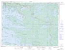
Maps showing Slate Island, Kenora, Ontario
Slate Island is a Island located in Kenora, Ontario.
- Latitude: 49° 38' 30'' North (decimal: 49.6416666)
- Longitude: 94° 28' 20'' West (decimal: -94.4722222)
- Topography Feature Category: Island
- Geographical Feature: Island
- Canadian Province/Territory: Ontario
- Location: Kenora
- Atlas of Canada Locator Map: Slate Island
- GPS Coordinate Locator Map: Slate Island Lat/Long
Slate Island NTS Map Sheets