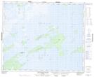
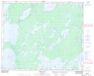
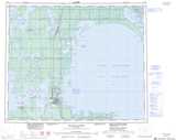
Maps showing Clear Bay, 50-17,18,19-W1; 51-17,18,19-W1, Manitoba
Clear Bay is a Bay located in 50-17,18,19-W1; 51-17,18,19-W1, Manitoba and has an elevation of 253 meters.
- Latitude: 53° 23' 10'' North (decimal: 53.3860999)
- Longitude: 100° 1' 0'' West (decimal: -100.0166999)
- Topography Feature Category: Bay
- Geographical Feature: Bay
- Canadian Province/Territory: Manitoba
- Elevation: 253 meters
- Location: 50-17,18,19-W1; 51-17,18,19-W1
- Atlas of Canada Locator Map: Clear Bay
- GPS Coordinate Locator Map: Clear Bay Lat/Long
Clear Bay NTS Map Sheets