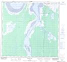
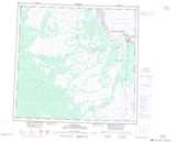
Maps showing Dene Village, Manitoba
Dene Village is a Unincorporated area located in Manitoba.
- Latitude: 58° 44' North (decimal: 58.7333000)
- Longitude: 94° 7' West (decimal: -94.1167000)
- Topography Feature Category: Unincorporated area
- Geographical Feature: Settlement
- Canadian Province/Territory: Manitoba
- GPS Coordinate Locator Map: Dene Village Lat/Long
Dene Village NTS Map Sheets