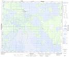
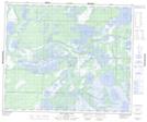
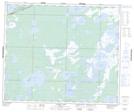
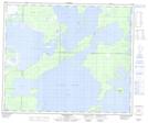
Maps showing Driftwood Lake, 54,55-21-W, Manitoba
Driftwood Lake is a Lake located in 54,55-21-W, Manitoba and has an elevation of 259 meters.
- Latitude: 53° 43' 57'' North (decimal: 53.7325000)
- Longitude: 100° 30' 59'' West (decimal: -100.5164000)
- Topography Feature Category: Lake
- Geographical Feature: Lake
- Canadian Province/Territory: Manitoba
- Elevation: 259 meters
- Location: 54,55-21-W
- Atlas of Canada Locator Map: Driftwood Lake
- GPS Coordinate Locator Map: Driftwood Lake Lat/Long
Driftwood Lake NTS Map Sheets