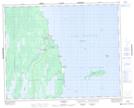
Maps showing Egg Islands, Manitoba
Egg Islands is a Island located in Manitoba and has an elevation of 219 meters.
- Latitude: 51° 55' 41'' North (decimal: 51.9281000)
- Longitude: 97° 4' 40'' West (decimal: -97.0778000)
- Topography Feature Category: Island
- Geographical Feature: Islands
- Canadian Province/Territory: Manitoba
- Elevation: 219 meters
- Atlas of Canada Locator Map: Egg Islands
- GPS Coordinate Locator Map: Egg Islands Lat/Long