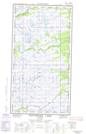
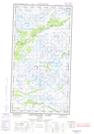
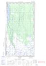
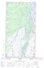
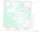
Maps showing Heppell Creek, Manitoba
Heppell Creek is a River located in Manitoba and has an elevation of 19 meters.
- Latitude: 58° 28' 38'' North (decimal: 58.4772000)
- Longitude: 94° 17' 43'' West (decimal: -94.2953000)
- Topography Feature Category: River
- Geographical Feature: Creek
- Canadian Province/Territory: Manitoba
- Elevation: 19 meters
- Atlas of Canada Locator Map: Heppell Creek
- GPS Coordinate Locator Map: Heppell Creek Lat/Long
Heppell Creek NTS Map Sheets