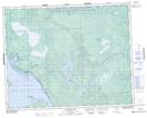
Maps showing Holmes Rock, Manitoba
Holmes Rock is a Shoal located in Manitoba.
- Latitude: 51° 15' 17'' North (decimal: 51.2547000)
- Longitude: 96° 27' 43'' West (decimal: -96.4618999)
- Topography Feature Category: Shoal
- Geographical Feature: Rock
- Canadian Province/Territory: Manitoba
- Atlas of Canada Locator Map: Holmes Rock
- GPS Coordinate Locator Map: Holmes Rock Lat/Long