Canada Topographic Maps

Kamisak River Topo Maps

Topography maps and Latitude/Longitude Location

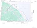
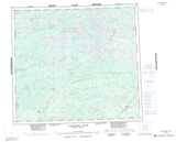
Maps showing Kamisak River, Manitoba

Kamisak River is a River located in Manitoba and has an elevation of 45 meters.

  • Latitude: 56° 55' 34'' North   (decimal: 56.9261000)
  • Longitude: 89° 30' 37'' West   (decimal: -89.5102999)
  • Topography Feature Category: River
  • Geographical Feature: River
  • Canadian Province/Territory: Manitoba
  • Elevation: 45 meters
  • Atlas of Canada Locator Map: Kamisak River
  • GPS Coordinate Locator Map: Kamisak River Lat/Long

Kamisak River NTS Map Sheets

054A12 No Title Topographic Map at 1:50,000 scale

054A13 Kataawi Creek Topographic Map at 1:50,000 scale

054B09 Neufeld Lake Topographic Map at 1:50,000 scale

054B16 Comeault Creek Topographic Map at 1:50,000 scale

054A Black Duck River Topographic Map at 1:250,000 scale

054B Kaskattama River Topographic Map at 1:250,000 scale

 
Buy Topographic Maps DVD
Newsletter Sign-up

Yes, I want to receive map store discounts.


Bookmark and Share