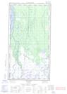
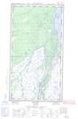
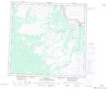
Maps showing Lamprey, Manitoba
Lamprey is a Unincorporated area located in Manitoba and has an elevation of 34 meters.
- Latitude: 58° 19' 2'' North (decimal: 58.3172000)
- Longitude: 94° 9' 21'' West (decimal: -94.1557999)
- Topography Feature Category: Unincorporated area
- Geographical Feature: Railway Point
- Canadian Province/Territory: Manitoba
- Elevation: 34 meters
- Atlas of Canada Locator Map: Lamprey
- GPS Coordinate Locator Map: Lamprey Lat/Long
Lamprey NTS Map Sheets