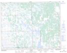
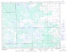
Maps showing Lundar Wildlife Management Area, 20-3-W, Manitoba
Lundar Wildlife Management Area is a Conservation area located in 20-3-W, Manitoba.
- Latitude: 50° 44' 24'' North (decimal: 50.7400000)
- Longitude: 97° 49' 49'' West (decimal: -97.8303000)
- Topography Feature Category: Conservation area
- Geographical Feature: Wildlife Management Area
- Canadian Province/Territory: Manitoba
- Location: 20-3-W
- Atlas of Canada Locator Map: Lundar Wildlife Management Area
- GPS Coordinate Locator Map: Lundar Wildlife Management Area Lat/Long
Lundar Wildlife Management Area NTS Map Sheets