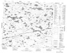
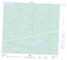
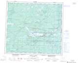
Maps showing Maggie Lake, 80,81-11-E, Manitoba
Maggie Lake is a Lake located in 80,81-11-E, Manitoba and has an elevation of 184 meters.
- Latitude: 55° 59' 57'' North (decimal: 55.9992000)
- Longitude: 95° 51' 37'' West (decimal: -95.8602999)
- Topography Feature Category: Lake
- Geographical Feature: Lake
- Canadian Province/Territory: Manitoba
- Elevation: 184 meters
- Location: 80,81-11-E
- Atlas of Canada Locator Map: Maggie Lake
- GPS Coordinate Locator Map: Maggie Lake Lat/Long
Maggie Lake NTS Map Sheets