Canada Topographic Maps

Meethachos River Topo Maps

Topography maps and Latitude/Longitude Location

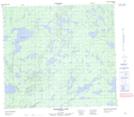
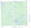
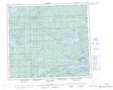
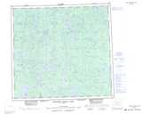
Maps showing Meethachos River, Manitoba

Meethachos River is a River located in Manitoba.

  • Latitude: 57° 10' 20'' North   (decimal: 57.1721999)
  • Longitude: 97° 28' 54'' West   (decimal: -97.4817000)
  • Topography Feature Category: River
  • Geographical Feature: River
  • Canadian Province/Territory: Manitoba
  • Atlas of Canada Locator Map: Meethachos River
  • GPS Coordinate Locator Map: Meethachos River Lat/Long

Meethachos River NTS Map Sheets

064A14 Wernham Lake Topographic Map at 1:50,000 scale

064H03 Hood Lake Topographic Map at 1:50,000 scale

064A Split Lake Topographic Map at 1:250,000 scale

064H Northern Indian Lake Topographic Map at 1:250,000 scale

 
Buy Topographic Maps DVD
Newsletter Sign-up

Yes, I want to receive map store discounts.


Bookmark and Share