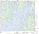
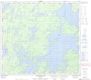
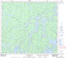
Maps showing Mistataykamik Bay, Manitoba
Mistataykamik Bay is a Bay located in Manitoba and has an elevation of 272 meters.
- Latitude: 57° 2' 42'' North (decimal: 57.0450000)
- Longitude: 99° 2' 39'' West (decimal: -99.0442000)
- Topography Feature Category: Bay
- Geographical Feature: Bay
- Canadian Province/Territory: Manitoba
- Elevation: 272 meters
- Atlas of Canada Locator Map: Mistataykamik Bay
- GPS Coordinate Locator Map: Mistataykamik Bay Lat/Long
Mistataykamik Bay NTS Map Sheets