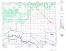
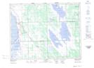
Maps showing Moffats Creek, Manitoba
Moffats Creek is a River located in Manitoba and has an elevation of 247 meters.
- Latitude: 50° 16' 34'' North (decimal: 50.2760999)
- Longitude: 97° 59' 19'' West (decimal: -97.9886000)
- Topography Feature Category: River
- Geographical Feature: Creek
- Canadian Province/Territory: Manitoba
- Elevation: 247 meters
- Atlas of Canada Locator Map: Moffats Creek
- GPS Coordinate Locator Map: Moffats Creek Lat/Long
Moffats Creek NTS Map Sheets