Canada Topographic Maps

Munk River Topo Maps

Topography maps and Latitude/Longitude Location

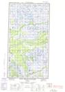
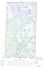
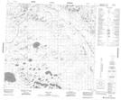
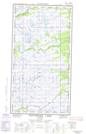
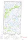
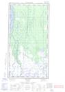
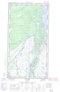
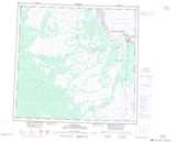
Maps showing Munk River, Manitoba

Munk River is a River located in Manitoba and has an elevation of 75 meters.

  • Latitude: 58° 25' 31'' North   (decimal: 58.4253000)
  • Longitude: 94° 17' 00'' West   (decimal: -94.2832999)
  • Topography Feature Category: River
  • Geographical Feature: River
  • Canadian Province/Territory: Manitoba
  • Elevation: 75 meters
  • Atlas of Canada Locator Map: Munk River
  • GPS Coordinate Locator Map: Munk River Lat/Long

Munk River NTS Map Sheets

054L02E Red Head Rapids Topographic Map at 1:50,000 scale

054L02W Red Head Rapids Topographic Map at 1:50,000 scale

054L03 Wise Lake Topographic Map at 1:50,000 scale

054L07E Lofthouse Lake Topographic Map at 1:50,000 scale

054L07W Lofthouse Lake Topographic Map at 1:50,000 scale

054L08E Bylot Topographic Map at 1:50,000 scale

054L08W Bylot Topographic Map at 1:50,000 scale

054L Churchill Topographic Map at 1:250,000 scale

 
Buy Topographic Maps DVD
Newsletter Sign-up

Yes, I want to receive map store discounts.


Bookmark and Share