Canada Topographic Maps

Nanowin River Topo Maps

Topography maps and Latitude/Longitude Location

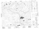
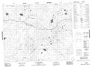
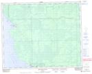
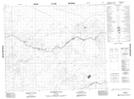
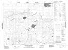
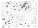
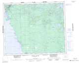
Maps showing Nanowin River, 49-2-E, Manitoba

Nanowin River is a River located in 49-2-E, Manitoba and has an elevation of 250 meters.

  • Latitude: 53° 12' 16'' North   (decimal: 53.2043999)
  • Longitude: 97° 13' 26'' West   (decimal: -97.2239000)
  • Topography Feature Category: River
  • Geographical Feature: River
  • Canadian Province/Territory: Manitoba
  • Elevation: 250 meters
  • Location: 49-2-E
  • Atlas of Canada Locator Map: Nanowin River
  • GPS Coordinate Locator Map: Nanowin River Lat/Long

Nanowin River NTS Map Sheets

063H01 Makatesibi Lake Topographic Map at 1:50,000 scale

063H02 Zayets Creek Topographic Map at 1:50,000 scale

063H03 Mukutawa River Topographic Map at 1:50,000 scale

063H06 Anderson Falls Topographic Map at 1:50,000 scale

063H07 Okeskimunisew Lake Topographic Map at 1:50,000 scale

063H08 Bennett Lake Topographic Map at 1:50,000 scale

063H Norway House Topographic Map at 1:250,000 scale

 
Buy Topographic Maps DVD
Newsletter Sign-up

Yes, I want to receive map store discounts.


Bookmark and Share