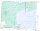
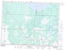
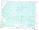
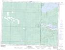
Maps showing Northwest Angle Provincial Forest, 3,4,5-15,16,17,18-E, Manitoba
Northwest Angle Provincial Forest is a Conservation area located in 3,4,5-15,16,17,18-E, Manitoba.
- Latitude: 49° 17' 14'' North (decimal: 49.2871999)
- Longitude: 95° 21' 55'' West (decimal: -95.3653000)
- Topography Feature Category: Conservation area
- Geographical Feature: Provincial Forest
- Canadian Province/Territory: Manitoba
- Location: 3,4,5-15,16,17,18-E
- Atlas of Canada Locator Map: Northwest Angle Provincial Forest
- GPS Coordinate Locator Map: Northwest Angle Provincial Forest Lat/Long
Northwest Angle Provincial Forest NTS Map Sheets