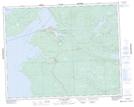
Maps showing Olafson Rock, Manitoba
Olafson Rock is a Shoal located in Manitoba.
- Latitude: 51° 7' 30'' North (decimal: 51.1249999)
- Longitude: 96° 22' 14'' West (decimal: -96.3705999)
- Topography Feature Category: Shoal
- Geographical Feature: Rock
- Canadian Province/Territory: Manitoba
- Atlas of Canada Locator Map: Olafson Rock
- GPS Coordinate Locator Map: Olafson Rock Lat/Long
Olafson Rock NTS Map Sheets