Maps showing Portage la Prairie, Manitoba
Portage la Prairie is a Other municipal/district area - miscellaneous located in Manitoba.
- Latitude: 49° 59' 34'' North (decimal: 49.9928000)
- Longitude: 98° 16' 9'' West (decimal: -98.2691999)
- Topography Feature Category: Other municipal/district area - miscellaneous
- Geographical Feature: Rural Municipality
- Canadian Province/Territory: Manitoba
- Atlas of Canada Locator Map: Portage la Prairie
- GPS Coordinate Locator Map: Portage la Prairie Lat/Long
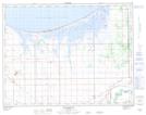
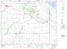
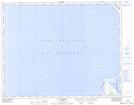
Portage la Prairie NTS Map Sheets
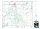
062G15 Macgregor Topographic Map at 1:50,000 scale
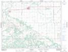
062G16 Portage La Prairie Topographic Map at 1:50,000 scale
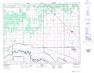
062H13 Elie Topographic Map at 1:50,000 scale
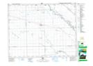
062I04 Warren Topographic Map at 1:50,000 scale
062J01 Macdonald Topographic Map at 1:50,000 scale
062J02 Gladstone Topographic Map at 1:50,000 scale
062J08 St Ambroise Topographic Map at 1:50,000 scale
062G Brandon Topographic Map at 1:250,000 scale
062H Winnipeg Topographic Map at 1:250,000 scale
062I Selkirk Topographic Map at 1:250,000 scale
062J Neepawa Topographic Map at 1:250,000 scale