Canada Topographic Maps

Red Deer Lake Topo Maps

Topography maps and Latitude/Longitude Location

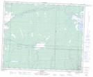
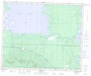
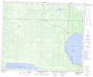
Maps showing Red Deer Lake, Manitoba

Red Deer Lake is a Lake located in Manitoba and has an elevation of 269 meters.

  • Latitude: 52° 56' 45'' North   (decimal: 52.9458000)
  • Longitude: 101° 21' 39'' West   (decimal: -101.3607999)
  • Topography Feature Category: Lake
  • Geographical Feature: Lake
  • Canadian Province/Territory: Manitoba
  • Elevation: 269 meters
  • Atlas of Canada Locator Map: Red Deer Lake
  • GPS Coordinate Locator Map: Red Deer Lake Lat/Long

Red Deer Lake NTS Map Sheets

063C13 Roscoe Topographic Map at 1:50,000 scale

063C14 Barrows Topographic Map at 1:50,000 scale

063F03 Overflowing River Topographic Map at 1:50,000 scale

063C Swan Lake Topographic Map at 1:250,000 scale

063F The Pas Topographic Map at 1:250,000 scale

 
Buy Topographic Maps DVD
Newsletter Sign-up

Yes, I want to receive map store discounts.


Bookmark and Share