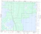
Maps showing Red Rock Creek, Manitoba
Red Rock Creek is a River located in Manitoba.
- Latitude: 53° 57' 14'' North (decimal: 53.9538999)
- Longitude: 101° 21' 51'' West (decimal: -101.3642000)
- Topography Feature Category: River
- Geographical Feature: Creek
- Canadian Province/Territory: Manitoba
- Atlas of Canada Locator Map: Red Rock Creek
- GPS Coordinate Locator Map: Red Rock Creek Lat/Long
Red Rock Creek NTS Map Sheets