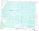
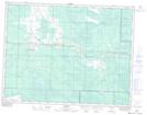
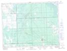
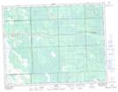
Maps showing St. Labre Bog, 6-11-E, Manitoba
St. Labre Bog is a Low vegetation located in 6-11-E, Manitoba and has an elevation of 325 meters.
- Latitude: 49° 29' 5'' North (decimal: 49.4847000)
- Longitude: 95° 58' 59'' West (decimal: -95.9830999)
- Topography Feature Category: Low vegetation
- Geographical Feature: Bog
- Canadian Province/Territory: Manitoba
- Elevation: 325 meters
- Location: 6-11-E
- Atlas of Canada Locator Map: St. Labre Bog
- GPS Coordinate Locator Map: St. Labre Bog Lat/Long
St. Labre Bog NTS Map Sheets