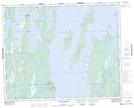
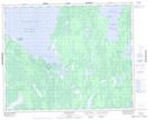
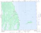
Maps showing Lake St. Patrick, 32,33-1-W, Manitoba
Lake St. Patrick is a Lake located in 32,33-1-W, Manitoba and has an elevation of 219 meters.
- Latitude: 51° 46' 20'' North (decimal: 51.7721999)
- Longitude: 97° 28' 42'' West (decimal: -97.4782999)
- Topography Feature Category: Lake
- Geographical Feature: Lake
- Canadian Province/Territory: Manitoba
- Elevation: 219 meters
- Location: 32,33-1-W
- Atlas of Canada Locator Map: Lake St. Patrick
- GPS Coordinate Locator Map: Lake St. Patrick Lat/Long
Lake St. Patrick NTS Map Sheets