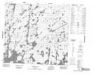
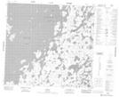
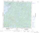
Maps showing Sawbill River, Manitoba
Sawbill River is a River located in Manitoba and has an elevation of 338 meters.
- Latitude: 57° 36' 12'' North (decimal: 57.6033000)
- Longitude: 101° 42' 17'' West (decimal: -101.7046999)
- Topography Feature Category: River
- Geographical Feature: River
- Canadian Province/Territory: Manitoba
- Elevation: 338 meters
- Atlas of Canada Locator Map: Sawbill River
- GPS Coordinate Locator Map: Sawbill River Lat/Long
Sawbill River NTS Map Sheets