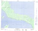
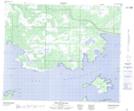
Maps showing South Channel, Manitoba
South Channel is a Channel located in Manitoba.
- Latitude: 53° 2' 42'' North (decimal: 53.0449999)
- Longitude: 100° 29' 36'' West (decimal: -100.4932999)
- Topography Feature Category: Channel
- Geographical Feature: Channel
- Canadian Province/Territory: Manitoba
- Atlas of Canada Locator Map: South Channel
- GPS Coordinate Locator Map: South Channel Lat/Long
South Channel NTS Map Sheets