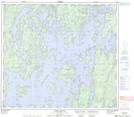
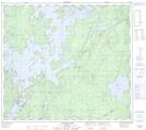
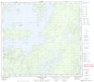
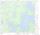
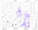
Maps showing Southern Indian Lake, Manitoba
Southern Indian Lake is a Lake located in Manitoba and has an elevation of 270 meters.
- Latitude: 57° 10' 0'' North (decimal: 57.1667000)
- Longitude: 98° 29' 58'' West (decimal: -98.4994000)
- Topography Feature Category: Lake
- Geographical Feature: Lake
- Canadian Province/Territory: Manitoba
- Elevation: 270 meters
- Atlas of Canada Locator Map: Southern Indian Lake
- GPS Coordinate Locator Map: Southern Indian Lake Lat/Long
Southern Indian Lake NTS Map Sheets
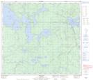
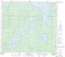
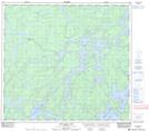
064B10 Swan Bay Topographic Map at 1:50,000 scale
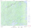
064B11 Issett Lake Topographic Map at 1:50,000 scale
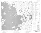
064B12 Opachuanau Lake Topographic Map at 1:50,000 scale
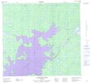
064B13 Fraser Lake Topographic Map at 1:50,000 scale
064B14 Lemay Island Topographic Map at 1:50,000 scale
064B15 Cousins Lake Topographic Map at 1:50,000 scale
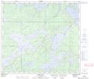
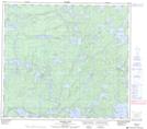
064G01 Torrance Lake Topographic Map at 1:50,000 scale
064G02 Numakoos Lake Topographic Map at 1:50,000 scale
064G03 Mulcahy Lake Topographic Map at 1:50,000 scale
064G07 Nutter Lake Topographic Map at 1:50,000 scale
064G08 Missi Rapid Topographic Map at 1:50,000 scale
064G09 Hammond Point Topographic Map at 1:50,000 scale
064G10 Moss Lake Topographic Map at 1:50,000 scale
064B Uhlman Lake Topographic Map at 1:250,000 scale
064G Big Sand Lake Topographic Map at 1:250,000 scale