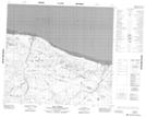
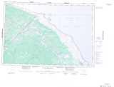
Maps showing Upimintenaw Creek, Manitoba
Upimintenaw Creek is a River located in Manitoba and has an elevation of 1 meters.
- Latitude: 56° 53' 22'' North (decimal: 56.8894000)
- Longitude: 89° 14' 52'' West (decimal: -89.2478000)
- Topography Feature Category: River
- Geographical Feature: Creek
- Canadian Province/Territory: Manitoba
- Elevation: 1 meters
- Atlas of Canada Locator Map: Upimintenaw Creek
- GPS Coordinate Locator Map: Upimintenaw Creek Lat/Long
Upimintenaw Creek NTS Map Sheets