Canada Topographic Maps

Waddie River Topo Maps

Topography maps and Latitude/Longitude Location

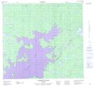
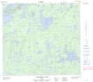
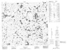
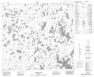
Maps showing Waddie River, Manitoba

Waddie River is a River located in Manitoba and has an elevation of 270 meters.

  • Latitude: 57° 39' 42'' North   (decimal: 57.6616999)
  • Longitude: 98° 9' 30'' West   (decimal: -98.1583000)
  • Topography Feature Category: River
  • Geographical Feature: River
  • Canadian Province/Territory: Manitoba
  • Elevation: 270 meters
  • Atlas of Canada Locator Map: Waddie River
  • GPS Coordinate Locator Map: Waddie River Lat/Long

Waddie River NTS Map Sheets

064G09 Hammond Point Topographic Map at 1:50,000 scale

064G16 Chipewyan Lake Topographic Map at 1:50,000 scale

064H12 Majury Lake Topographic Map at 1:50,000 scale

064H13 Currie Lake Topographic Map at 1:50,000 scale

064G Big Sand Lake Topographic Map at 1:250,000 scale

064H Northern Indian Lake Topographic Map at 1:250,000 scale

 
Buy Topographic Maps DVD
Newsletter Sign-up

Yes, I want to receive map store discounts.


Bookmark and Share