Canada Topographic Maps

Warkworth Creek Topo Maps

Topography maps and Latitude/Longitude Location

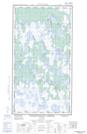
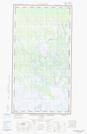
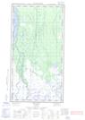
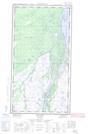
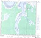
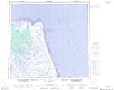
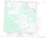
Maps showing Warkworth Creek, Manitoba

Warkworth Creek is a River located in Manitoba and has an elevation of 12 meters.

  • Latitude: 58° 34' 37'' North   (decimal: 58.5769440)
  • Longitude: 94° 1' 8'' West   (decimal: -94.0188890)
  • Topography Feature Category: River
  • Geographical Feature: Creek
  • Canadian Province/Territory: Manitoba
  • Elevation: 12 meters
  • Atlas of Canada Locator Map: Warkworth Creek
  • GPS Coordinate Locator Map: Warkworth Creek Lat/Long

Warkworth Creek NTS Map Sheets

054K05E Warkworth Creek Topographic Map at 1:50,000 scale

054K05W Warkworth Creek Topographic Map at 1:50,000 scale

054K12 Norton Lake Topographic Map at 1:50,000 scale

054L08E Bylot Topographic Map at 1:50,000 scale

054L08W Bylot Topographic Map at 1:50,000 scale

054L09 Button Bay Topographic Map at 1:50,000 scale

054K Cape Churchill Topographic Map at 1:250,000 scale

054L Churchill Topographic Map at 1:250,000 scale

 
Buy Topographic Maps DVD
Newsletter Sign-up

Yes, I want to receive map store discounts.


Bookmark and Share