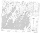
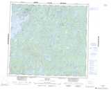
Maps showing Wuchistoon Point, Manitoba
Wuchistoon Point is a Cape located in Manitoba and has an elevation of 339 meters.
- Latitude: 57° 48' 38'' North (decimal: 57.8105999)
- Longitude: 101° 47' 52'' West (decimal: -101.7978000)
- Topography Feature Category: Cape
- Geographical Feature: Point
- Canadian Province/Territory: Manitoba
- Elevation: 339 meters
- Atlas of Canada Locator Map: Wuchistoon Point
- GPS Coordinate Locator Map: Wuchistoon Point Lat/Long