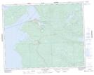
Maps showing Barre Creek, Manitoba
Barre Creek is a River located in Manitoba and has an elevation of 219 meters.
- Latitude: 51° 0' 35'' North (decimal: 51.0097000)
- Longitude: 96° 23' 24'' West (decimal: -96.3900000)
- Topography Feature Category: River
- Geographical Feature: Creek
- Canadian Province/Territory: Manitoba
- Elevation: 219 meters
- Atlas of Canada Locator Map: Barre Creek
- GPS Coordinate Locator Map: Barre Creek Lat/Long
Barre Creek NTS Map Sheets