Maps showing Rivière Saskatchewan, Manitoba
Rivière Saskatchewan is a River located in Manitoba and has an elevation of 219 meters.
- Latitude: 53° 11' 20'' North (decimal: 53.1888999)
- Longitude: 99° 15' 18'' West (decimal: -99.2550000)
- Topography Feature Category: River
- Geographical Feature: Rivière
- Canadian Province/Territory: Manitoba
- Elevation: 219 meters
- Atlas of Canada Locator Map: Rivière Saskatchewan
- GPS Coordinate Locator Map: Rivière Saskatchewan Lat/Long
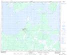
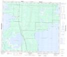
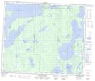
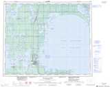
Rivière Saskatchewan NTS Map Sheets
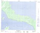
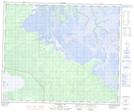
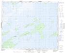
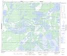
063F01 Mossy Portage Topographic Map at 1:50,000 scale
063F07 Connolly Bay Topographic Map at 1:50,000 scale
063F08 Kokookuhoo Island Topographic Map at 1:50,000 scale
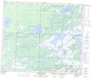
063F10 Red Earth Lake Topographic Map at 1:50,000 scale
063F11 Pasquia Lake Topographic Map at 1:50,000 scale
063F13 Barrier Lake Topographic Map at 1:50,000 scale
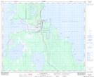
063F14 The Pas Topographic Map at 1:50,000 scale
063F15 Landry Lake Topographic Map at 1:50,000 scale
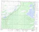
063G03 Grand Rapids Topographic Map at 1:50,000 scale
063G04 Napanee Bay Topographic Map at 1:50,000 scale
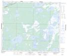
063K03 Root Lake Topographic Map at 1:50,000 scale
063K04 Namew Lake Topographic Map at 1:50,000 scale
063F The Pas Topographic Map at 1:250,000 scale
063G Grand Rapids Topographic Map at 1:250,000 scale
063K Cormorant Lake Topographic Map at 1:250,000 scale