Maps showing Swan-Pelican Provincial Forest, Manitoba
Swan-Pelican Provincial Forest is a Conservation area located in Manitoba.
- Latitude: 52° 30' North (decimal: 52.5000000)
- Longitude: 100° 15' West (decimal: -100.2499999)
- Topography Feature Category: Conservation area
- Geographical Feature: Provincial Forest
- Canadian Province/Territory: Manitoba
- Atlas of Canada Locator Map: Swan-Pelican Provincial Forest
- GPS Coordinate Locator Map: Swan-Pelican Provincial Forest Lat/Long
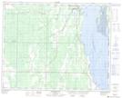
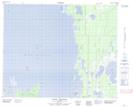
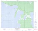
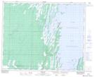
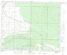
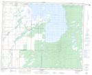
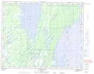
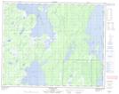
Swan-Pelican Provincial Forest NTS Map Sheets
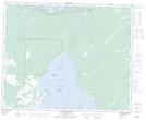
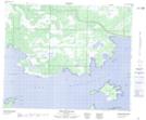
062N16 Sagemace Bay Topographic Map at 1:50,000 scale
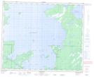
063B05 Sisters Islands Topographic Map at 1:50,000 scale
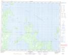
063B12 Point Laronde Topographic Map at 1:50,000 scale
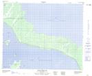
063B13 Denbeigh Point Topographic Map at 1:50,000 scale
063C01 Duck Bay Topographic Map at 1:50,000 scale
063C02 Renwer Topographic Map at 1:50,000 scale
063C07 Lenswood Topographic Map at 1:50,000 scale
063C08 Magnolia Lake Topographic Map at 1:50,000 scale
063C09 Kircro Lake Topographic Map at 1:50,000 scale
063C10 Pelican Rapids Topographic Map at 1:50,000 scale
063C15 Dawson Bay Topographic Map at 1:50,000 scale
063C16 Pelican Bay Topographic Map at 1:50,000 scale
063F01 Mossy Portage Topographic Map at 1:50,000 scale
063F02 Spruce Island Topographic Map at 1:50,000 scale
062N Duck Mountain Topographic Map at 1:250,000 scale
063B Waterhen Lake Topographic Map at 1:250,000 scale
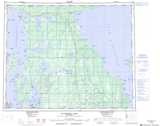
063C Swan Lake Topographic Map at 1:250,000 scale
063F The Pas Topographic Map at 1:250,000 scale