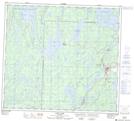
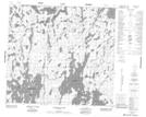
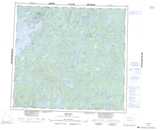
Maps showing Walley Island, 92-25-W1, Manitoba
Walley Island is a Island located in 92-25-W1, Manitoba.
- Latitude: 57° 0' 20'' North (decimal: 57.0056000)
- Longitude: 101° 23' 13'' West (decimal: -101.3868999)
- Topography Feature Category: Island
- Geographical Feature: Island
- Canadian Province/Territory: Manitoba
- Location: 92-25-W1
- Atlas of Canada Locator Map: Walley Island
- GPS Coordinate Locator Map: Walley Island Lat/Long
Walley Island NTS Map Sheets