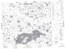
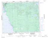
Maps showing Butcher Island, 52,53-8-E1, Manitoba
Butcher Island is a Island located in 52,53-8-E1, Manitoba.
- Latitude: 53° 32' 32'' North (decimal: 53.5422000)
- Longitude: 96° 18' 28'' West (decimal: -96.3077999)
- Topography Feature Category: Island
- Geographical Feature: Island
- Canadian Province/Territory: Manitoba
- Location: 52,53-8-E1
- Atlas of Canada Locator Map: Butcher Island
- GPS Coordinate Locator Map: Butcher Island Lat/Long
Butcher Island NTS Map Sheets