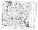
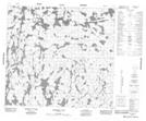
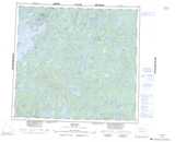
Maps showing Gilchrist Island, 95-22W, Manitoba
Gilchrist Island is a Island located in 95-22W, Manitoba.
- Latitude: 57° 17' 7'' North (decimal: 57.2852999)
- Longitude: 101° 0' 15'' West (decimal: -101.0042000)
- Topography Feature Category: Island
- Geographical Feature: Island
- Canadian Province/Territory: Manitoba
- Location: 95-22W
- Atlas of Canada Locator Map: Gilchrist Island
- GPS Coordinate Locator Map: Gilchrist Island Lat/Long
Gilchrist Island NTS Map Sheets